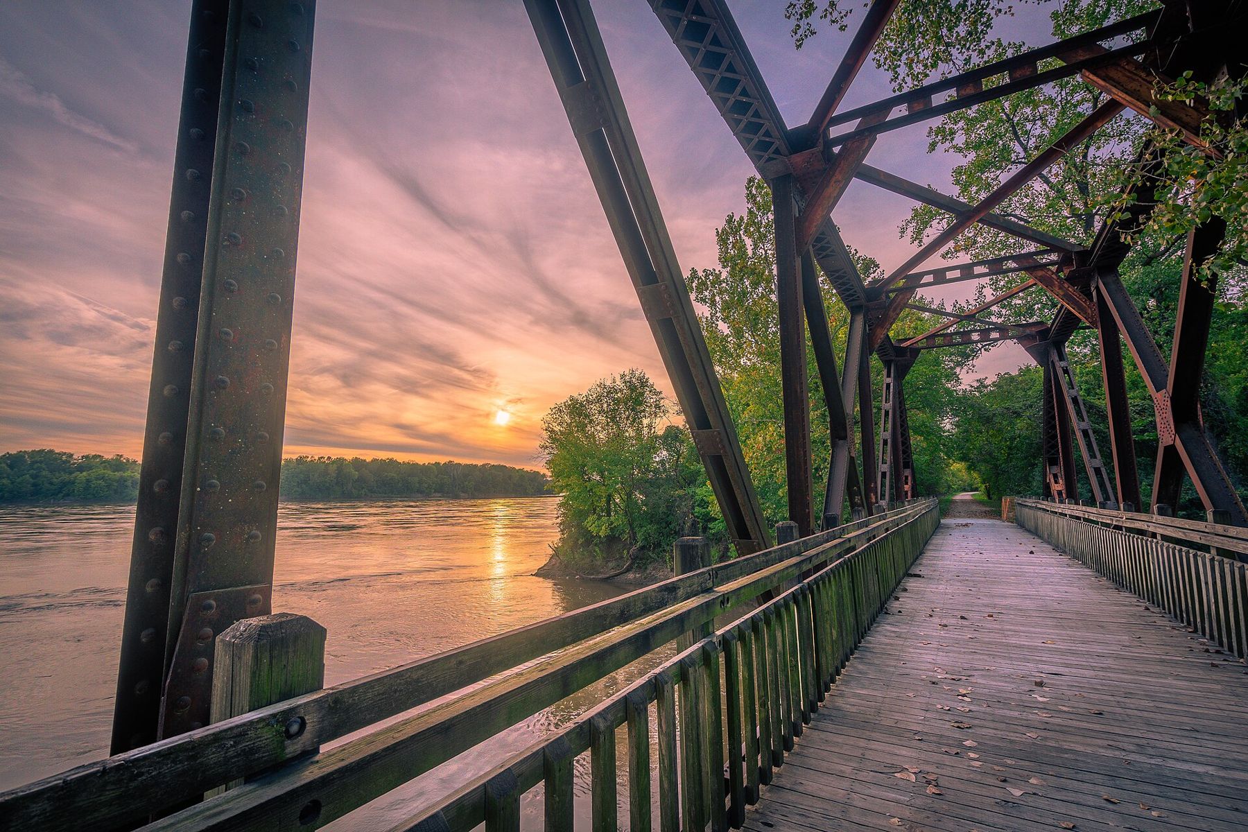
The Katy Trail is a long, flat path for bicycles and walkers that follows the bed of an old railroad across Missouri. It runs for roughly 240 miles, from Clinton in the west to Machens in St. Charles County in the east, and for much of its length it follows the Missouri River beneath tall bluffs. It is one of the longest rail trails in the country and a state park in its own right.
From railroad to trail
The trail takes its name from the Missouri-Kansas-Texas Railroad, known as the MKT or the Katy. The railroad was organized in the years after the Civil War and built lines across Missouri, Kansas and into Texas. Its route along the north bank of the Missouri River was completed in the 1890s, and towns along the way grew up around its depots.
The railroad stopped running trains along this stretch in 1986, after the line had been damaged by floods. Under a federal law that allowed abandoned rail lines to be converted to trails, the state took over the corridor, and the first sections of Katy Trail State Park opened in 1990. Later sections followed through the 1990s.
The trail surface is crushed limestone, packed hard and smooth enough for most bicycles. Because it follows a railroad grade, it is nearly level for long distances.
The Rocheport stretch
For a single day, many riders choose the section around Rocheport, a small river town about 12 miles east of Boonville by trail. Here the trail runs between the Missouri River and limestone bluffs that rise sharply above the path, and the views are some of the best on the whole route.
Just west of Rocheport, the trail passes through the Rocheport tunnel, a short railroad tunnel cut through the bluff in the 1890s. It is the only tunnel on the trail, and riding through it is one of the highlights of the route.
East of Rocheport, toward McBaine, the trail runs right under the bluffs, with the river on one side and the rock face on the other. Lewis and Clark passed this stretch in June 1804, and the journals mention painted figures on the bluffs near the mouth of a creek in this area.
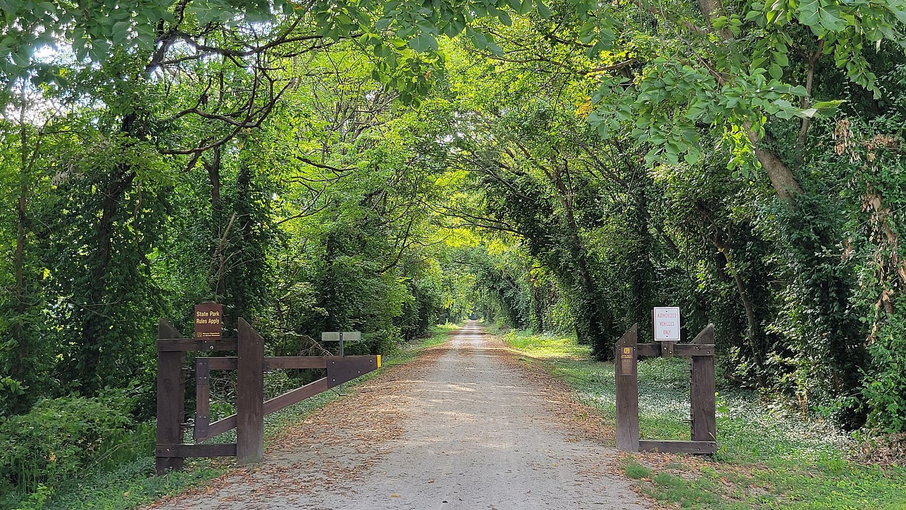
The bluffs here are part of what makes the ride. Cliffs of pale limestone rise straight from the edge of the trail, with trees clinging to ledges and small caves and springs in the rock. In spring the trail is lined with wildflowers, and in autumn the hardwoods on the bluffs turn red and gold. Watch for turtles and snakes sunning on the path in warm weather, and for herons and eagles along the river.
Rocheport itself is worth a stop. The town was a river landing long before the railroad came, and a number of its nineteenth-century houses and buildings survive on the slope above the river. Interstate 70 crosses the Missouri just upstream on a high bridge, but the town feels a world away from it.
Choosing a stretch for a day
The trail is long, and most riders do a section at a time. Some good choices for a day:
- Boonville to Rocheport and back: about 24 miles round trip, crossing open bottoms and passing the tunnel.
- Rocheport toward McBaine: the bluffs at their most dramatic, with an easy out-and-back.
- The eastern section: near Hermann and Augusta, the trail runs through farm and wine country, with many small towns along the way.
- The western end: from Clinton toward Sedalia, a quieter stretch through farmland and prairie.
Many riders use a shuttle to ride one way; services and schedules change, so check before you go.
The towns along the way
The Katy Trail passes through many small towns that grew up around the railroad depots. Some have old depots restored as trailheads, with water and restrooms. Boonville has a restored 1912 depot and a riverfront near the old Katy bridge. Rocheport has old houses and streets on the slope above the river.
Across the river from Boonville, the trail passes near New Franklin, close to the site of old Franklin, the starting point of the Santa Fe trade that later moved west through Arrow Rock.
In the east, the trail passes through the Missouri Rhineland, settled by German immigrants in the nineteenth century, with its vineyards on the river hills. To read more about that history, see Missouri wine on the river hills.
Floods and closures
The Katy Trail follows the river closely, and when the Missouri floods, the trail floods too. High water has closed long sections of the trail several times, most notably in 1993 and in 2019, when parts of the trail were damaged and closed for repairs. Sections can also close for bridge work, washouts or storm damage.
Before you ride, check the state park's trail conditions. It is the only way to know what is open.
Practical notes
- Getting there: Boonville and Rocheport are off I-70, roughly 100 to 130 miles east of Kansas City.
- Bikes: any bicycle with wider tires works well on the crushed limestone. Narrow road tires are less comfortable.
- Water: carry plenty, as services are spaced far apart on some stretches.
- Season: spring and fall are best. Summer is hot and humid under the bluffs, and insects can be heavy.
- Trail rules: the trail is for walkers and bicycles; check current rules for other uses.
The Katy Trail is easy riding, but it is long. Pick a stretch, ride it slowly, and keep an eye on the river.
Notice
Notice: a flat rail trail follows the Missouri under limestone bluffs near Rocheport. Ride in spring or fall, and check for flood closures before you set out.