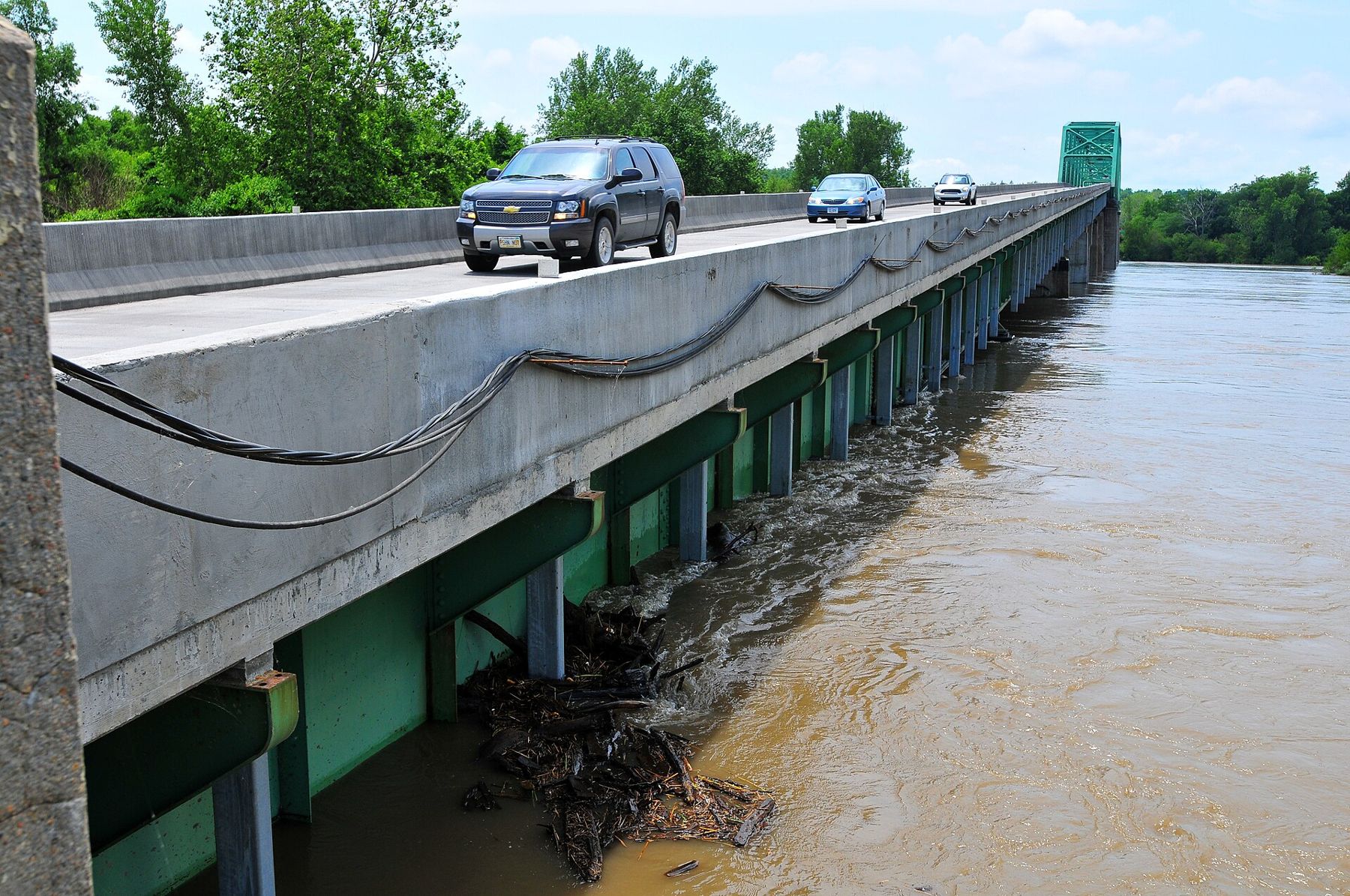
Every town on this stretch of the Missouri was built because of the river, and almost every one of them has been changed by it. Floods have washed away streets, moved the channel, buried boats and left old landings stranded far from the water. Understanding the river's floods is the key to understanding why the river towns look the way they do.
A wild river
Before the twentieth century the Missouri was wide, shallow and braided, full of sandbars, islands and fallen trees. It spread across much of the valley floor between the bluffs and changed course freely, cutting into one bank and building up the other. When Lewis and Clark came up this stretch in 1804, they described a river that changed its channel constantly, and the boatmen who followed them learned that no landing was permanent.
The river's floods came from two sources. In spring, rain and snowmelt from the plains raised the water; in early summer, melting snow from the Rocky Mountains far upstream brought a second rise. When heavy rain fell on the lower basin at the same time, the result could be enormous.
The great flood of 1844
The largest flood in the early records came in June 1844. Heavy rains over the lower basin pushed the Missouri and its tributaries far beyond their banks. At the small settlements around the mouth of the Kansas River, the water spread across the bottoms from bluff to bluff and swept away homes and farms. The 1844 flood is still a benchmark for the river near Kansas City, and it struck before there were any levees to hold it.
The floods of the nineteenth century reshaped the towns. Old Franklin, across from Boonville, was largely washed away in the 1820s and rebuilt on higher ground. Weston, once a busy river port, saw the channel move away from its landing as the river shifted to the west, and the town lost its waterfront. The story of a town left behind by its river is told more fully in Weston's river-port past.
Taming the channel
From the late nineteenth century the federal government began working to control the Missouri. Engineers built wooden and stone dikes, revetments along the banks and later long lines of levees, aiming to hold the river in one deep, narrow channel for steamboats and then barges. The work picked up from the 1930s and continued for decades, eventually creating a navigation channel from Sioux City, Iowa, to the mouth of the river.
The river became shorter, faster and narrower. Thousands of acres of former river bottom became farmland behind the levees, and many of the old islands, sandbars and side channels disappeared. The channel the steamboat Arabia sank in, for instance, is now a field.
Dams and the 1951 flood
In July 1951 heavy rains in Kansas sent the Kansas River into one of the worst floods in the region's history. The water broke through levees in the industrial bottoms where the Kansas meets the Missouri, flooding the stockyards, rail yards and packing plants of the West Bottoms and Armourdale. Tens of thousands of people were driven from their homes, and the damage was enormous.
The flood helped speed work on flood control. A system of large dams on the upper Missouri, built mostly from the 1930s through the 1960s in Montana, the Dakotas and Nebraska, now stores much of the river's flow. More dams and reservoirs were built on tributaries, including the Kansas River. Higher, stronger levees were built around Kansas City and other towns.
1993 and after
The Great Flood of 1993 showed the limits of that system. Months of rain over the Midwest pushed both the Mississippi and Missouri to record levels. Along the lower Missouri, many levees failed, farmland and small towns were flooded, and some communities, after the water went down, chose to move to higher ground rather than rebuild.
The floods kept coming. In 2011 heavy snow and rain upstream forced long, high releases from the dams, and the river stayed out of its banks for months. In March 2019, a storm brought heavy rain on frozen ground and melting snow in Nebraska and Iowa, and levees broke along the river in northwest Missouri; high water returned later that year. The towns and farms on the bottoms around Weston, St. Joseph and farther north were hit hard.
Each of these floods renewed an old argument about how to manage the river. Farmers on the bottoms depend on the levees, barge traffic depends on the deep channel, towns depend on flood control, and fish and wildlife depend on some of the river's old wildness. In recent decades, some land along the river has been set aside as wetland and refuge, giving the water room to spread in high years.
Seeing the river's history
You can read flood history on the ground all along this stretch. Look for the levees running along the bottoms, the flood marks on old buildings and bridges, and the towns perched on bluffs while the farms below sit behind earthen walls. From the bluffs at Weston Bend State Park or the riverfront at Parkville, you can see how the bottoms open out between the bluffs, and imagine water from bluff to bluff.
- High water: spring and early summer usually bring the highest water. River parks and trails can close.
- Safety: never drive through water on a road, and stay off levees and closed areas during high water.
- Current conditions: river levels, closures and trail conditions change quickly. Check before you go.
Notice
Notice: watch the river from the bluffs in spring, when snowmelt and rain bring high water. Look for levees, flood marks and old landings far from the channel.