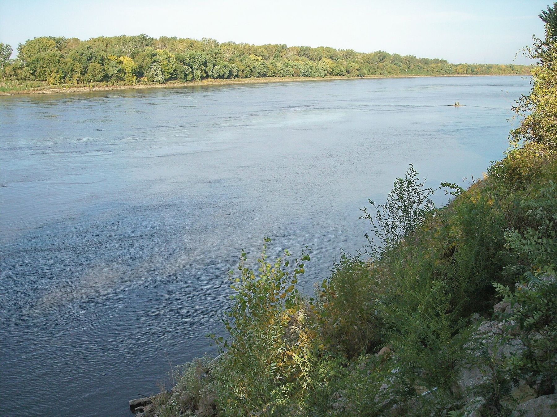
In May 1804, the expedition led by Meriwether Lewis and William Clark left its winter camp near the mouth of the Missouri and started up the river. By late June it had reached the mouth of the Kansas River, where downtown Kansas City now stands. Over the next two weeks the party worked its way past the bluffs of present Parkville, Weston, Leavenworth and Atchison. Their journals are the first detailed written account of this stretch of river.
The party and the boats
The Corps of Discovery traveled in a large keelboat, about 55 feet long, and two smaller open boats called pirogues. The party included soldiers, hired boatmen, hunters, the two captains and York, a man enslaved by Clark, who made the whole journey to the Pacific and back without pay or freedom. A dog belonging to Lewis came too.
Moving upstream was hard work. The men rowed when they could, sailed when the wind allowed, and poled or hauled the keelboat along the bank with a towrope when the current was too strong. On good days they made perhaps fifteen to twenty miles; on bad days much less. Heat, insects, snakes, sandbars and fallen trees in the channel slowed them constantly.
Below Kansas City: Fort Osage
A few days before reaching the Kansas River, the party passed a high bluff on the south bank, east of present Kansas City. Clark noted it as a strong site for a fort, and in 1808 he returned to build one there. Fort Osage served as a government trading post with the Osage nation, whose lands then covered much of present Missouri. The Osage gave up most of those lands in a treaty signed at the fort that same year, the first of the cessions that opened western Missouri to settlement.
A reconstruction of the fort now stands on the bluff at Sibley, about 25 miles east of downtown Kansas City, with a museum and views over the river. Check its hours before you go.
Kaw Point, June 1804
The party reached the mouth of the Kansas River, which they called the Kansas or Kaw, on June 26, 1804, and camped on the point between the two rivers for several days. They dried out their goods, repaired the boats, hunted, and took measurements of the rivers.
The camp also saw the expedition's first serious discipline case. Two men who had broken into the whiskey supply while on guard were tried by a court of their fellow soldiers and sentenced to be flogged. The trip was a military expedition, and it was run like one.
Today Kaw Point Park in Kansas City, Kansas, stands on the point, with walking paths, river views and markers about the camp. It is the easiest place to stand where the party stood. Just east, across the mouth of the Kansas, the bluffs of downtown and the River Market rise above the Missouri, and the museum of the steamboat Arabia is a short drive away.
Past Weston and Leavenworth
From Kaw Point the party pushed north, past the bluffs where Parkville now stands and around the long bends below present Leavenworth and Weston. The journals record islands, creeks, prairies on the uplands and dense timber along the bottoms. The captains noted good land for farming and signs of the Kansa people and other nations who lived and hunted along the river.
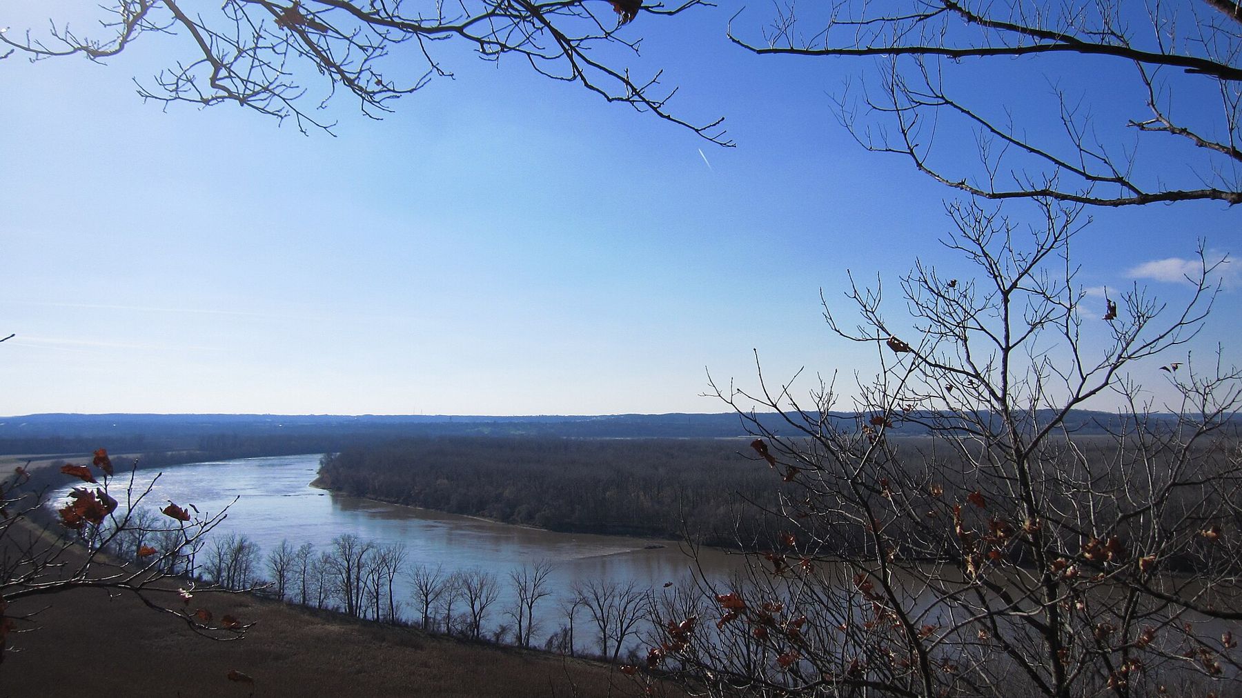
Opposite the site of present Leavenworth, on the Missouri side, the bluffs at Weston Bend rise above the river; the state park there today gives one of the best views of the kind of country the expedition saw from the water.
Independence Creek and July 4
On July 4, 1804, the party celebrated Independence Day on the river, the first known celebration of the holiday west of the Mississippi. They fired the keelboat's swivel gun at dawn and at the end of the day, and gave the men an extra ration of whiskey. They named a creek near present Atchison Independence Creek in honor of the day.
A little farther north, on the Missouri side, they passed a broad oxbow lake on the bottoms. Today Lewis and Clark State Park, near Rushville in Buchanan County, sits beside a lake on the river bottoms that recalls the landscape they described. Farther north again, the river bends past St. Joseph, which did not exist for another thirty years.
The party came back down this same stretch in September 1806, carried quickly by the current, with the whole journey to the Pacific behind them.
The land they described
The journals are full of the country along the banks: the timber on the bottoms, the prairies on the uplands, the creeks, the game. The men hunted deer and turkey, and noted plums, berries and grapes ripening along the river. They also recorded the ground the Kansa and other nations used, old village sites, and the trade that already ran along the river through French and Spanish traders from St. Louis. The land was not empty, and the expedition knew it; one of its purposes was to tell the nations along the river that the United States now claimed it.
The river then and the river now
The Missouri the expedition faced was wide, shallow and braided, full of shifting sandbars, islands and fallen trees, and it changed course with every flood. The river you see today is very different. Beginning in the late nineteenth century and especially from the 1930s, the federal government built dikes, revetments and levees to hold the river in one deep, narrow channel for barge traffic. Large dams far upstream, built from the 1930s through the 1960s, now control much of its flow.
The result is a river that is narrower, faster and deeper in its channel, and much shorter than it was. Many of the islands and side channels the party camped beside are gone, now farmland behind levees. When you stand at Kaw Point or look down from a bluff, imagine the river spread across much of the valley floor, with sandbars and snags in every bend.
“The river you see today is very different.”
The river is still powerful. When it floods, as it did in 1993 and 2019, it reclaims some of its old ground.
Visiting the sites
- Kaw Point Park, Kansas City, Kansas: walking paths and markers at the 1804 camp.
- Weston Bend State Park: bluff trails and an overlook above the river north of Weston.
- Independence Creek, north of Atchison: a small trail and markers near the July 4 camp.
- Lewis and Clark State Park, near Rushville: a lake on the bottoms and a place to picnic.
Hours, access and conditions at all of these change, and high water can close riverside paths. Check before you go. Bring binoculars for the river and insect repellent for summer evenings, which the party would have understood.
Notice
Notice: the Corps of Discovery passed this way in June and July of 1804. Look for their camps at Kaw Point, the bluffs near Weston and Independence Creek.